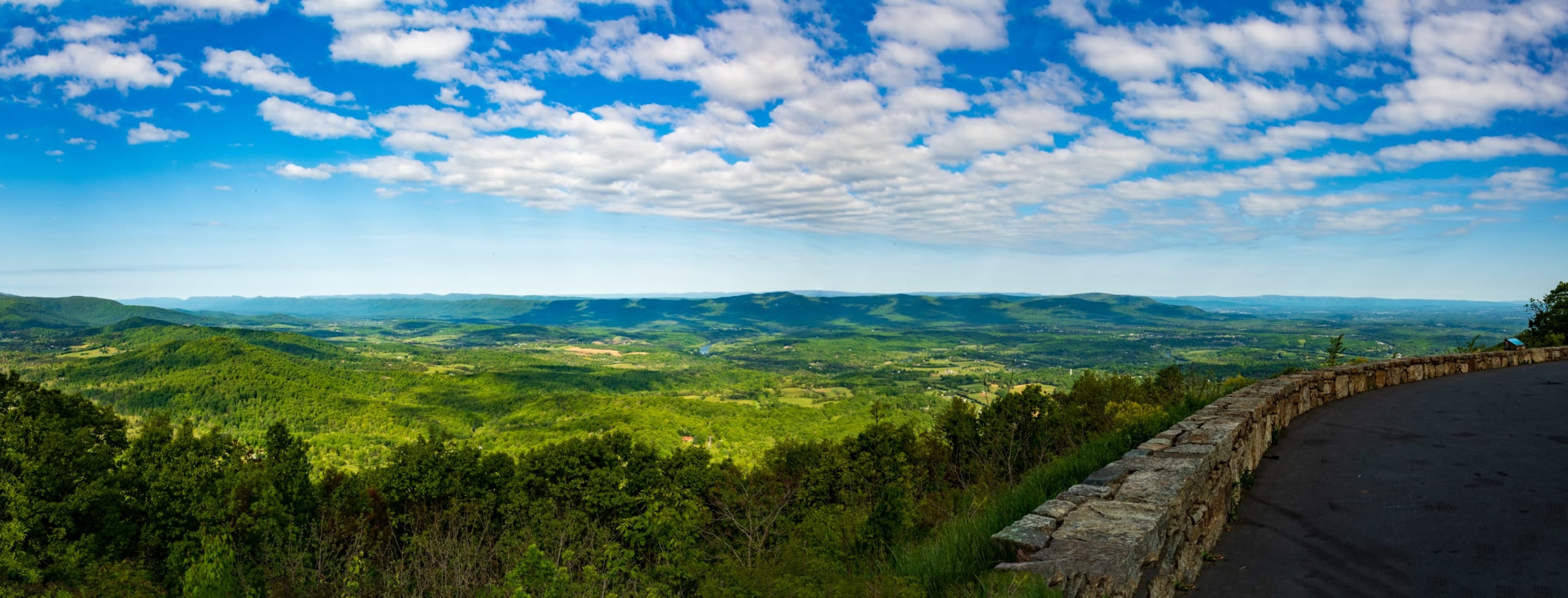
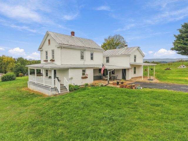
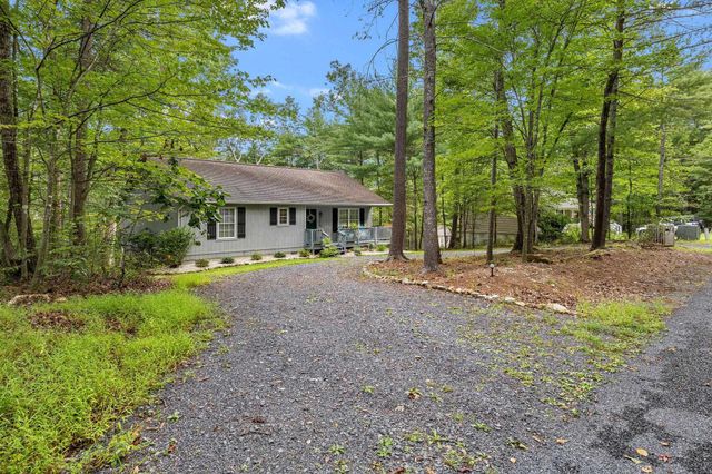
The county was created in 1772 as Dunmore County and later took its present name. Its shape explains a lot about daily life. The land runs along the Valley's northern stretch, with Interstate 81 and old U.S. 11 as the spine, the Blue Ridge on one side and the long ridge of Massanutten Mountain on the other. Towns are strung along that spine like beads: Strasburg is the largest, Woodstock is the county seat, and Edinburg, Mount Jackson and New Market follow in a row, with Toms Brook between Strasburg and Woodstock. Each has its own town hall, its own rules and, in some cases, its own utilities.
Between the towns, the county is farmland, orchards, river bottoms and ridge. The North Fork of the Shenandoah River loops through the middle, and the Seven Bends below Woodstock are the best known stretch. Fort Valley, a high, narrow valley enclosed by Massanutten Mountain, is a different world from the Valley floor. Small crossroads such as Basye, Orkney Springs, Quicksburg and Maurertown have no town government, so they sit under county rules.
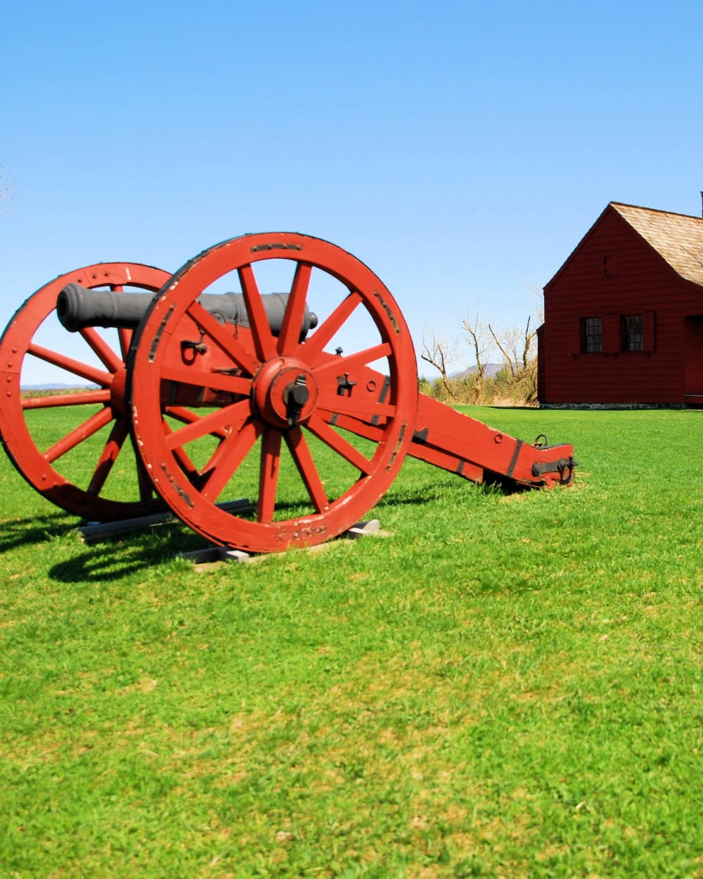
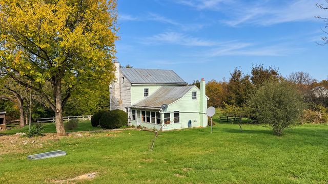
The Civil War is part of the landscape. The Battle of New Market was fought here on May 15, 1864, and part of Cedar Creek and Belle Grove National Historical Park lies in the county. For buyers, the history shows up as old stone and brick farmhouses, historic districts in the towns, and a lot of land protected from development. It also shows up in a steady stream of visitors, especially in October.