Start with scale. Rockingham County covers 853 square miles, making it the third-largest county in Virginia by land area, and it was carved out of Augusta County in 1778. The county seat, Harrisonburg, has been an independent city since 1916, so the courthouse sits in a place the county does not govern. That has a practical effect on buyers: a Harrisonburg mailing address does not tell you whether a house is in the city, in the county or inside one of the seven towns, and each combination comes with a different tax bill.
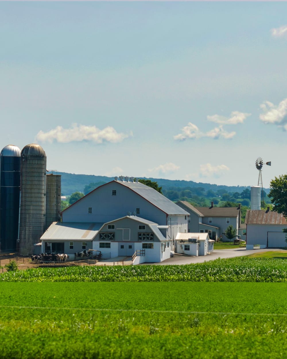
Agriculture is the county's identity. The 2022 Census of Agriculture counted 1,722 farms here and ranked Rockingham first in Virginia for sales, and the county leads the state in poultry and eggs; the 2017 census recorded more than 18 million broilers on its farms. In practice, you will see long, low poultry houses on ridgelines and valley floors, hay fields, cattle pasture and the occasional silo-and-barn farmstead. Horse-drawn buggies share Route 42 and some back roads near Dayton and Bridgewater, and roadside produce stands appear in season. Drive slowly after dark.
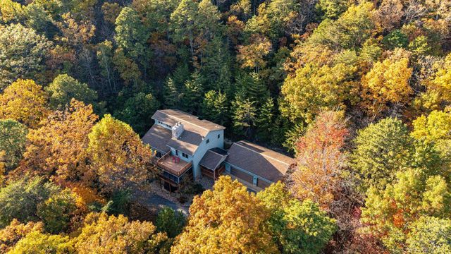
The landscape changes quickly. Massanutten Mountain runs through the middle of the county, with Shenandoah National Park on the eastern side and George Washington National Forest to the west. Massanutten Resort, a four-season ski and golf community of about 6,000 acres near McGaheysville, anchors the south. Smaller crossroads such as Penn Laird, Mount Crawford, Fulks Run and Bergton have their own post offices and feel. Towns like Broadway and Timberville have walkable cores; the land between them is open country.